|
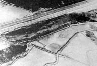
Image-B1601
Failure of railway embankment of Tohoku Trunk Line (Misawa - Mukaiyama)
|
|
|
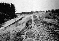
Image-B1602
Subsidence of railway embankment of Ohminato Line.
|
|
|
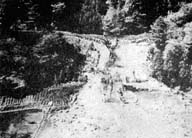
Image-B1603
Failure of railway embankment of Nambu Line.
|
|
|
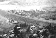
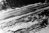
Image-B1604
Slope failure of Tohoku Trunk Line (Shiriuchi-Mutsu-ichikawa)
|
|
|
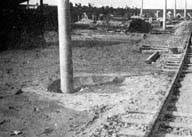
Image-B1605
Failure of railway embankment of Tohoku Trunk Line (Shiriuchi-Mutsu-ichikawa)
|
|
|
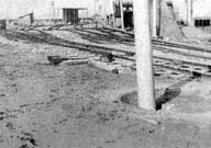
Image-B1606
Sand volcano in the recently reclaimed deposit in Aomori Station.
|
|
|
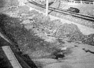
Image-B1607
Sand volcano in the recently reclaimed deposit in Aomori Station.
|
|
|
Image-B1608
Sand volcano in the recently reclaimed deposit in Aomori Station.
|
|
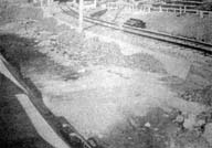
|
Image-B1609
Sand volcano in the recently reclaimed deposit in Aomori Station.
|
|
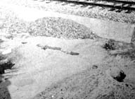
|
Image-B1610
Sand volcano in the recently reclaimed deposit in Aomori Station.
|
|
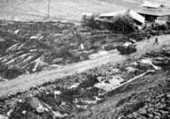
|
Image-B1611
A large slide of railway fill. Flow of fill material viewed from the top of the fill with a height of about 12 meters.
|
|
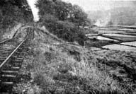
|
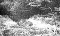
Image-B1612
Slumping of the fill between Shiriuchi and Gonohe Stations on the Nanbu Railway Line.
|
|
|
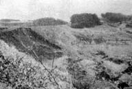
Image-B1613
A flow of the railway fill between Shiriuchi and Gonohe Stations on the Nanbu Railway Line.
|
|
|
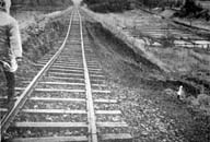
Image-B1614
A slide of railroad embankment between Arito and Fukikoshi on Ominato Line.
|
|
|
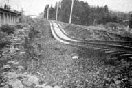
Image-B1615
A slide of railroad embankment between Arito and Fukikoshi on Ominato Line.
|
|
|
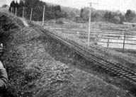
Image-B1616
Slipping of the old fill beside an elevated structure located north of Ogawara Station.
|
|
|
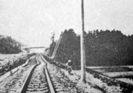
Image-B1617
Slipping of the old fill beside an elevated structure located north of Ogawara Station.
|
|
|
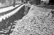
Image-B1618
Slipping of the old fill beside an elevated structure located north of Ogawara Station.
|
|
|
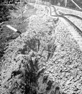
Image-B1619
Failure of railway fill between Ottomo and Ohata, viewed from the south.
|
|
|
Image-B1620
Failure of railway fill between Ottomo and Ohata. A view from the south of the slide on the west side of the embankment.
|
|
|
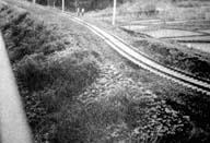
Image-B1621
Failure of railway fill between Ottomo and Ohata.
|
|
|
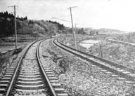
Image-B1622
Failure of railway fill between Ottomo and Ohata, viewed from the north.
|
|


